Info about the hike I've found on zygis.info and it was organized by Vilnius City Public Health Bureu.
Our hide guite was Mr. Marius Trapnauskas. Organizers state that hike was aproximatelly 10 km long, however my mobile phone states that we managed to march maximum 6 km.
Well, I not saying that my phone is smarter than the organizers, but organizers have to use some marketing tricks to attract more participants. Hey people: WE WILL MARCH 10 km! WE WILL BURN A LOT OF CALLORIES!
The hike was totally for free.
Starting point: Žaliųjų Ežerų str. 85
Since the hike was for free, few hundreds of hikers gathered. to be sincere, I really didn't like that. Even some foreign students were marching and Spanish girls were talking all the time.
a dam on the Turniškės Stream
Our first stop was at Naujieji Verkiai Paper Factory (in LT). A hike guide started to tell us about the factory but it could be heard nothing. There were too many people.
Naujieji Verkiai Paper Factory
The Riešė Stream
The next and the last stop was on the Neris bank, somethere between Naujieji Verkiai and Ozkiniai, I guess it was Staviškės. We had lunch there.
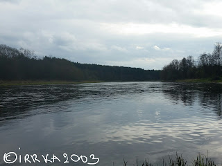
The Neris
I wonder why we didn't go on the Staviškių Mound (Piliakalnis) (in LT). We were close to it. Maybe the hike guide said somtehing about it, but I was too far to hear anything.
Also, since I was far from the guide I even didn't realize where Staviškiu pilkapynas was.
Calthas (Marsh marigold) in bloom
The route took us approximately 2 hours and 20 minutes and it started at 2 p.m.
At 6 p.m. we had the first thunder in a new season 2016 in Vilnius!!! :) As it is said you can go swimming after the first thunder. Let's jump to the Salotė Lake!
And at 8:30 p.m. we had a first rainbow in the sky in season 2016!
well, sorry for my deviations from the main topic ...
The first rainbow of 2016
So, on the whole, I can say that the route was abolutely fine and nice, but a number of hikers was unconvenient.
Pictures taken by hike participants - here.
I will go back there on my own and I will visit objects which were ignored today and I will tell more about this hike. And it should be not far away in the future because I will forget the route.
Untill the next time, then!
to be continued ...
Jump to continuation!


No comments:
Post a Comment