Series of #WalksinVilnius
series of #VerkiaiRegionalPark
Well, as I have promised this is a continuation of Part I when I took part in a massive hike in these places on April 17.
This hike was a lonely hike of a lonely hiker.
The lower channel on the Turniškių Stream towards the Naujieji Verkiai Paper Factory on May 8 looks like that:

Towards a dam looks like that:


Bird cherry (Prunus padus) (paprastoji ieva) in full bloom
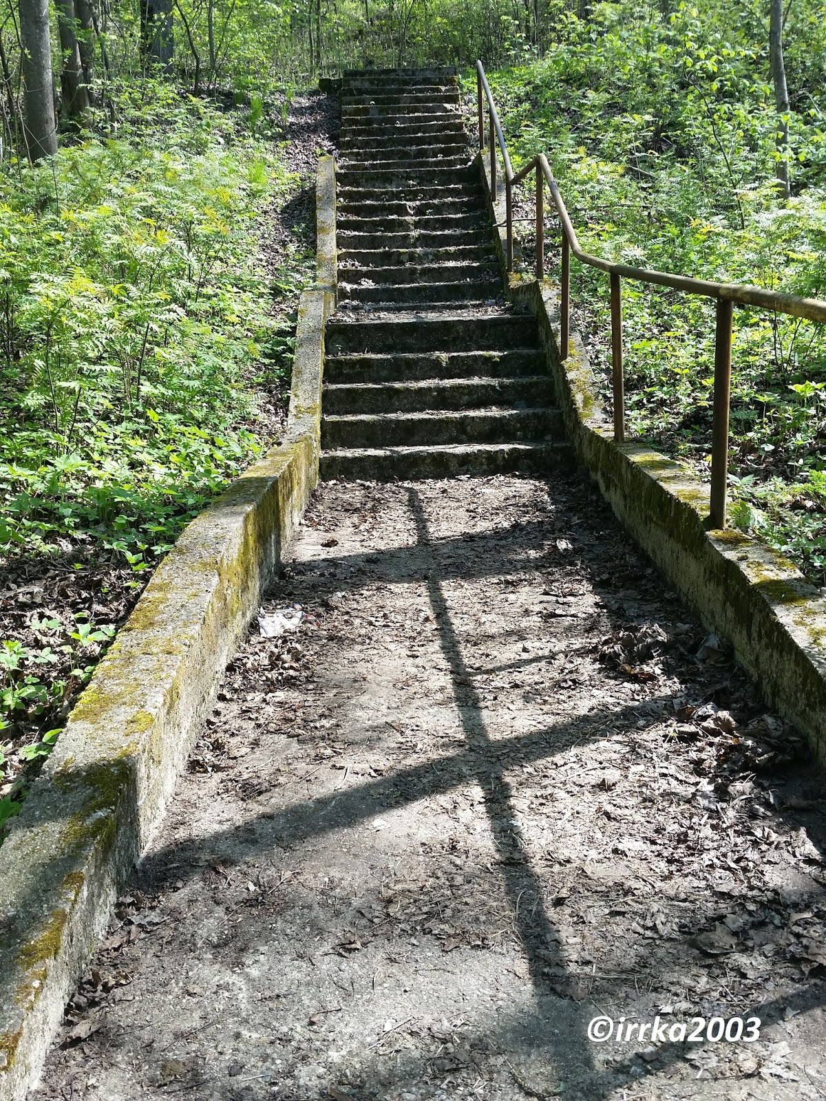
The upper channel


Near this house turn left to the forest
When the path splits into 2 or 3 paths always choose the left one
The right path towards the stream looks like a little gorge:


A dam on the Riešė Stream

A bridge over the the Riešė Stream on Žaliųjų Ežerų str.

The Riešė Stream and Irute on the bridge and her shaddow

The Turniskes Stream


Choose the right path, because the left one left leads you down to the stream and you shouldn't go there


A beautiful loop

Ooops, not the right path again, down at the Riešė Stream again:

go back up the slope, choose the right path and go straight and You should pass this monster

When you reach the forest road, turn left:

When you reach the pile of garbages, turn left to the forest road


I've seen this last time

Better choose the right path, because the left one left leads you down to the stream and you shouldn't get there

Ooops, not the right path again. Although some amazing views are disclosed


A little bit of walk in the forest (more away form the stream) and you reach
a campsite, at last:

A cute and funny bridge over the stream leading to Kremplių str. ( actually, a country road)

That is easy!

Now the stream is on your right


Who said that a perfect meadow does not exist?
This is absolutely perfect meadow!!! A meadow from my dreams


A bridge to the right bank of the stream to the forest (but I am not able to find a path back through the forest)

Now you pass some houses in Staviskes, ....
and reach Ozkiniu street

if you wish to walk till the confluenace of Neris and Riese
when you reach Ozkiniu str. turn right and go till the stream crosses the Ozkiniai street, pass the bridge and follow the stream aling it's right bank till the confluence
One of the last loops of the Riešė Stream


I can see Neris already

The confluence of Riešė and Neris


Neris
Ožkinių str. 35 House
Last month (in April) it was been sold on www.aruodas.lt for nearly 0,25 mln euros.
Reaching the Staviskes Mound
Go till you reach the point where the street splits into Verkiai street (left) and Ozkiniai street (right). Go Verkiai street, pass the house Verkiai str. 66 and and you will have a hill with a forest on your right
Finally I've found it!!!

I know where my home is

Monument to Jesus Christ erected in on the mound in 1928

A path down the mound (somewhere just in the centre of the mound)

Go back to the Staviskes stop.
If you wish, you can go back to the starting point of the hike just the same way you came here ...
If you feel too tired, you can just take bus No 35 which takes you to Kalvariju street.

Waiting for the bus on the bank of the stream


The hike took me aproximatelly 3 hours and it was app. 7 km long.
It's very interesting that in the fall of 2020 The Pavilniai - Verkiai Regional Park opened a new Old Villages Cognitive Path, which, I guess, partially coincides with the route of that Spring Hike from 2016.
I haven't visted that Cognitive Path yet but it will be continued...
No comments:
Post a Comment